The hills are alive...can't you just
picture Scott twirling & singing
in a nun's habit? Oh, come on...it
won't hurt you to at least try.)
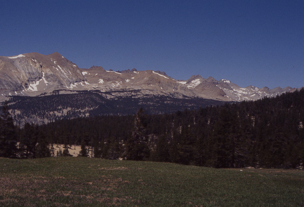
Beautiful Bighorn Plateau. This
picture doesn't do it justice.
Sigh...
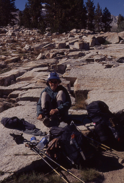
Amy dries out after a
wet-footed crossing of
Tyndall Creek.
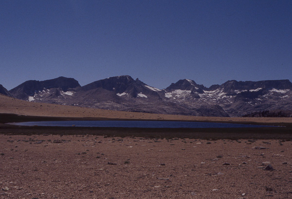
Looking south from our camp
spot a mile or 2 south of
Forester Pass.
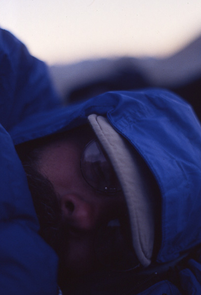
Scott hunkers down
in his bag and tries
to stay warm.
Just after breakfast, I was hiking along, looking at the view, spirits high, when suddenly I tripped over a rock and found myself lying face down on the trail, pinned beneath my backpack, spitting out dirt, and unable to get up. If someone could have drawn a chalk outline around me, things would have been perfect. (Over the years, while backpacking, I have managed to fall flat out on several occasions an have been told that I look exactly like Randy in the movie "A Christmas Story" as he lays in the snow writhing around.) I struggled to my feet and found that my left knee ached badly. The pain slowed my pace for a couple of hours but luckily, it subsided. (Aren't I a trooper?)
We hiked by the trail to Mt. Whitney. We had opted not to do this side trip, but it looked like fun. At this point, the Pacific Crest Trail joins the John Muir Trail for somewhere around 175 miles north to Yosemite before splitting off again. About 95% of the PCT hikers choose to hike south to north (the guidebook is written in this direction) and about 95% of the JMT hikers hike north to south. (The mountains get higher and higher as you travel south and I think it is probably more satisfying to end your hike with a trip up Mt. Whitney.) This meant that we would be meeting up with a lot of JMT'ers and we looked forward to it. (That's actually not sarcastic-it just sounds like it. Hard to tell with me.)
Our trail the entire day made us feel like we were walking on the top of the world. We hiked along the crest of the mountains with panoramic views. Walking across beautiful Bighorn Plateau was a highlight we won't soon forget.
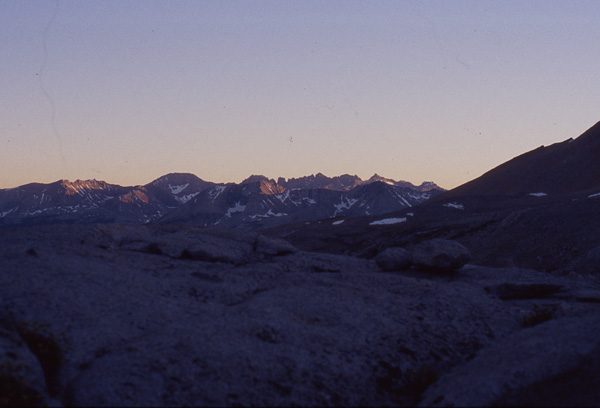
We headed for Forester Pass, the first of the many passes we would cross. Between us and Vermillion Valley Resort lay 6 passes: Forester, Glen, Pinchot, Mather, Muir, and Seldon. Forester is the highest at 13,200 feet and is also the highest point along the entire PCT.
We climbed most of the way before icy winds began to blow. We stopped to put on some warmer clothes and it was then that I found that somewhere that day, I had lost one of my fleece gloves, and I am somewhat sorry to report, threw a tantrum in the middle of the trail. (Hey, I was tired and cold, what can I say? And the tantrum warmed me up.) Luckily no one witnessed this except Scott and some marmots, neither of whom I care about impressing. Scott started calling me Michael Jackson until I began to wear a sock on my hand as a substitute, which looked really silly, but worked well.
Due to the lateness of the hour, we decided to camp about a mile below the pass at 12,200 feet. Brr! We wore all our clothes to bed and were extra glad for our warm sleeping bags. In the past, Scott has revealed interesting facts such as "the body is only able to shiver for about 3 hours before it is forced to shut down and die." (Thanks Honey) Much to Scott's irritation, I kept bringing up the people who froze to death on Everest and wondered if this would be our fate as well, since we had been shivering for at least an hour. I wondered if we would make it through the night with all our toes.
(Oh, ok, it wasn't gangrene cold, but it was DARN cold. We know you like to imagine us one step away from a Donner Party situation. Come, on...admit it.)