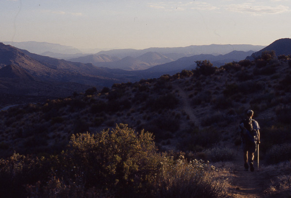
Early morning shadows make
hiking pleasant. All the hills
ahead look cool and beautiful.
But will they stay that way?
In case we left you wondering,
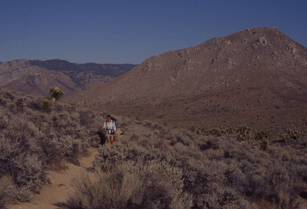
the answer is no. Mayan Mt.
looms behind Amy with the tree
covered Piute Mts. in the
background only a distant
memory.
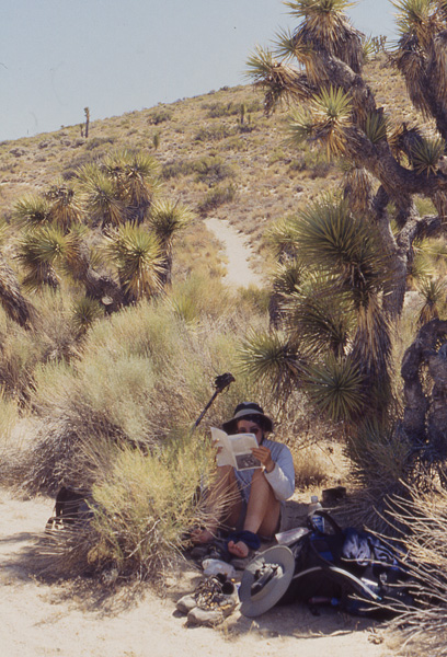
Amy takes refuge under
a Joshua tree to give
the feet a little air and
peruse the guidebook.
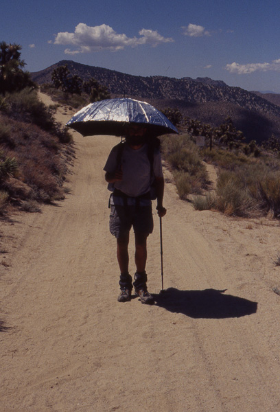
Scott has one last
rendevous with the
Mylar umbrella before
he turns it in at
Walker Pass tomorrow.
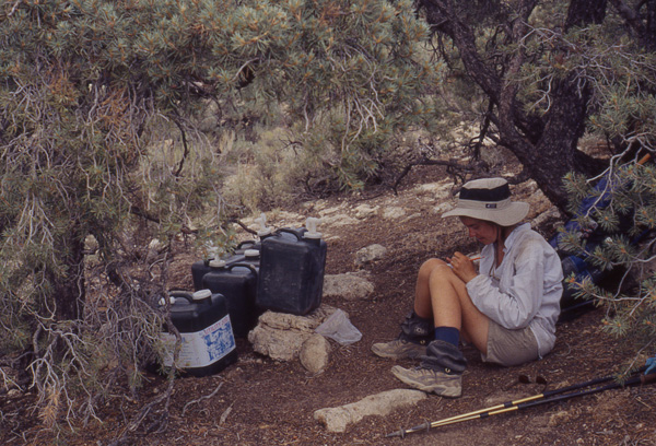
Amy writes trail angel, Green
Mt. Boy, a love letter while
enjoying his fabulous water
cache at Bird Spring Pass.
When we started this section back at Highway 58, the guidebook announced, "Welcome to the Sierra Nevada!" Now, from reading the journals of people who had previously hiked the trail, we knew that the southern most Sierra Nevada dips in and out of the desert environment, but you allow yourself to be fooled while walking in shady forests.
I thought back to the previous day when the forest had reminded me so much of the forest around our cabin. I could picture myself sitting on the porch holding a steaming cup of coffee, my eyes closed, the heady aroma waking me up....
Enough of this madness! The desert awaited once again and there was no putting it off. We headed down into Hell.
This section has been the worst for water availability so far with streams dry, springs that are barely running and long distances between water sources. Additionally, several springs in crucial areas are far off trail and include as much as a 750-foot loss in elevation. Because of this, we had planned on carrying water for 28 miles to avoid having to make one of the nasty detours.
As we headed into the desert, we came upon a surprise water cache at Butterbredt Canyon Road from a trail Angel named Mary. What a treat! A note also stated that there was another cache about 15 miles further. These wonderful people save us extra miles, worry, and backaches.
The day was hot and the hiking grueling. The only shade to be found was under a Joshua tree and we were grateful.
As we hiked along a ridge, the stillness was broken by a roaring that was soft at first and then got louder. Suddenly, a bird-sized object shot through a gap in the hills and swooped down into the valley and we realized that it was a fighter jet. It went right over our heads probably heading to Edwards Air Force Base. It was so close, we almost hit the deck out of instinct. The sound that followed it was deafening.
Luckily, clouds began to move in around midday and continued to build all afternoon, collecting just north of us, but we received many of the benefits of cooling winds and lower temperatures and even some cloud cover. In fact, we even were sprinkled on for a second.
Later, after climbing up out of Bird Spring Pass, there was Lake Isabella to the west, shimmering in the late afternoon sunlight. A highlight! I love to see the lakes as we hike north, because then I can visualize exactly where I am geographically.
We hiked 23 miles for the third day in a row which kept us on schedule to meet Scott's parents, Glenn and Mary, the following day at Walker Pass.