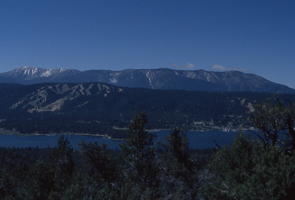
It's that famous shot of Big Bear
Lake taken from the junction
with the Cougar Crest trail.
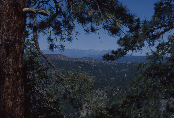
Our first good view west of the
San Gabriel Mountains.
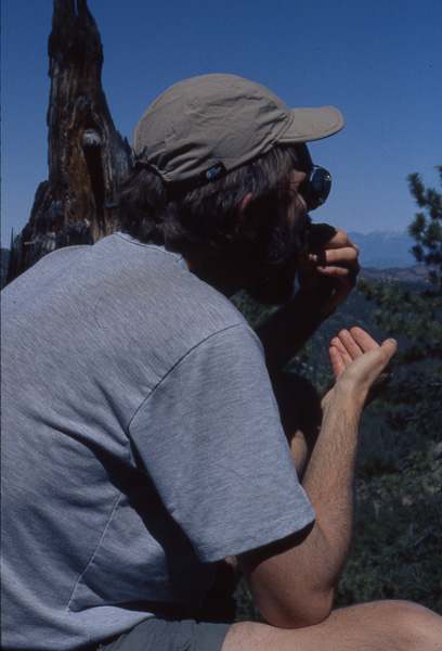
Scott enjoys his big
sandwich.
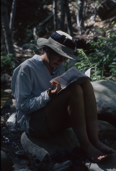
Amy studies the guidebook
on a break at Holcomb Creek.
On the bright side, however, this detour meant that instead of having to walk all the way back to the trail on dusty, unpleasant Van Duzen Canyon Road, we decided to try reconnect with the PCT via the Cougar Crest Trail so we wouldn't have to backtrack. To do this, we utilized a service called Dial-a Ride that will take you anywhere in the Big Bear area for $2. Great price. The driver picked us up early that morning. She was very friendly and all three of us talked the entire way to the trailhead. The only other person on the bus was a guy sound asleep, sitting upright. As we motored around the lake, we were getting thrown around pretty good on the curves. This guy continued sleeping. His head would bob bob bob one way and then bob bob bob the other way. It was fun to watch.
Our return to the trail brought good views all morning. We had started our big turn west. This is the part of the trail that many hikers feel is counterproductive because for almost 2 weeks, you walk west instead of north. It's not so bad when you remember what is north: the Mojave, Death Valley, and eventually Nevada as well, so walking west for a while seems a lot better from that perspective.
Our trip west will take us through the rest of the San Bernardinos, and then the San Gabriels before turning north again. These two mountain ranges, along with the Channel Islands make up the Transverse Mt. Range, which runs east/west rather than the more common north/south.
We took a break and as I stood looking at a good view of the San Gabriels, I heard an "Oh, no! Oh, nooooo!" Scott had been digging in the food bag by some rocks and apparently something bad had happened. I had visions of my deli sandwich that I had been fantasizing about tumbling down the hill, but it was worse. Much worse! A precious vial of Crystal Light drink mix had dropped deep between some rocks. (I don't know if I've mentioned how important Crystal Light is to us, but on the trail it doesn't weigh much, it's not sticky if it spills [Amy found this out first hand when someone forgot to screw the lid on their drink bottle that was sitting on the ground cloth -Scott]...I'll ignore that little aside.... and when the water doesn't taste good, it's worth its weight in gold. After checking for snakes, Scott lay on his belly and groped around until he finally got hold of it. I'm glad there was no snake because I would hate to explain to the paramedics what he was doing when he got bit.
At lunch, we sat down to eat our big deli sandwiches. As we unwrapped them, we got a surprise. All the pizza condiments must also double for sandwich condiments: grated mozzarella, sliced olives, mushrooms, bell peppers. Weird sandwiches, but good. I'm surprised they didn't ask us if we wanted a side of sauce with them.
We hiked 22 miles that day and lost quite a bit of elevation and camped by mosquito-infested Deep Creek. (Scott has expanded his definition of inclement weather to include mosquitoes. [Actually I only expanded it to include whining hiking partners -Scott]) Shut up, Honey.